A shared picture
Bring mission context, vehicle status and sensor information into the same workspace.
 CENDRAAEROSPACE-Q
COORDINATED INTELLIGENCE · WILDFIRE RESPONSE
When the landscape changes, every perspective matters. CENDRA brings drone missions, teams and operational information into one shared workspace.
Built around a simple idea: see together. Act together.
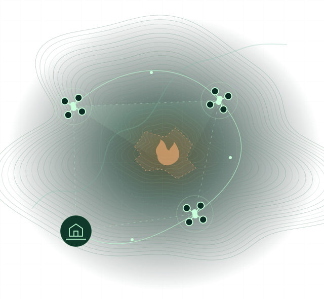 SCOUT01
THERMAL02
RELAY03
COMMAND
01 / THE PROJECT
A wildfire is a moving, complex environment. CENDRA is a software project designed to connect different drones, sensors and field teams, turning separate perspectives into a shared operational picture.
From mission planning to fleet oversight, the aim is to help people understand the situation, coordinate resources and keep decisions in human hands.
Bring mission context, vehicle status and sensor information into the same workspace.
Coordinate scouting, thermal observation and communications as parts of one mission.
Keep objectives, oversight and critical decisions with the people leading the response.
02 / THE APPROACH
One coordination layer, from the field to the command view. The project is designed around local processing, adaptable integrations and continuity when connectivity is limited.
Drones & sensors
Mission & fleet
People & teams
Development focus: interoperability, field resilience and traceable operations.
03 / EXPERIENCE CENDRA
Step into the private demo to explore the command workspace, simulated vehicles and a wildfire coordination scenario.
Explore demoSign-in required · Simulation environment
The demo uses simulated assets. Field capabilities are subject to integration and operational validation.